




An ArcGIS Pro map contains more than lines, colors, and symbols. Its layers, attributes, links, and supporting information provide context that can help people make better decisions. But when that map is exported as a conventional PDF, how much of that context reaches the people who need it?
Day: August 24, 2026
From PDF Maps to Better Decisions: The GeoPDF Story
How TerraGo created a new kind of map—and built the tools to make geographic information, more collaborative, and useful.
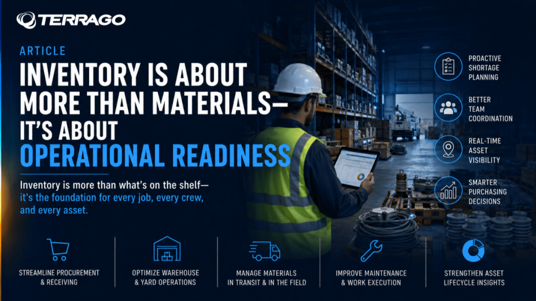
Inventory Is About More Than Materials—It’s About Operational Readiness
Utility organizations spend a great deal of time thinking about inventory, but the real objective isn't simply maintaining accurate stock counts. It's making sure crews have the right materials, projects stay on schedule, and infrastructure investments are fully accounted for.