


GeoPDF originated not just as a file format but as part of LGI’s broader LGIView system—a comprehensive platform that integrated map creation, metadata, and interactive PDF features, leading to TerraGo’s 2005 spinoff to commercialize this geospatial technology.
Category: GeoPDF Newsroom
The Evolution of GeoPDF: U.S. Government Initiatives in Geospatial Mapping
From the pioneering SBC project and LGIView to NGA’s advanced requirements for “full geo” capability, this piece traces the development of GeoPDF standards, software adoption across key agencies, and the birth of TerraGo.
Where Maps Come Alive: The Birth of the GeoPDF
TerraGo turns 20 this year. To mark the occasion, we’re launching a series of articles exploring the history of GeoPDF and the software tools that produce, modify, and consume GeoPDF maps. In this inaugural post, we look at the early use of Portable Document Format (PDF) files and custom-built software systems that delivered geospatial applications—or GeoApps—to end users.
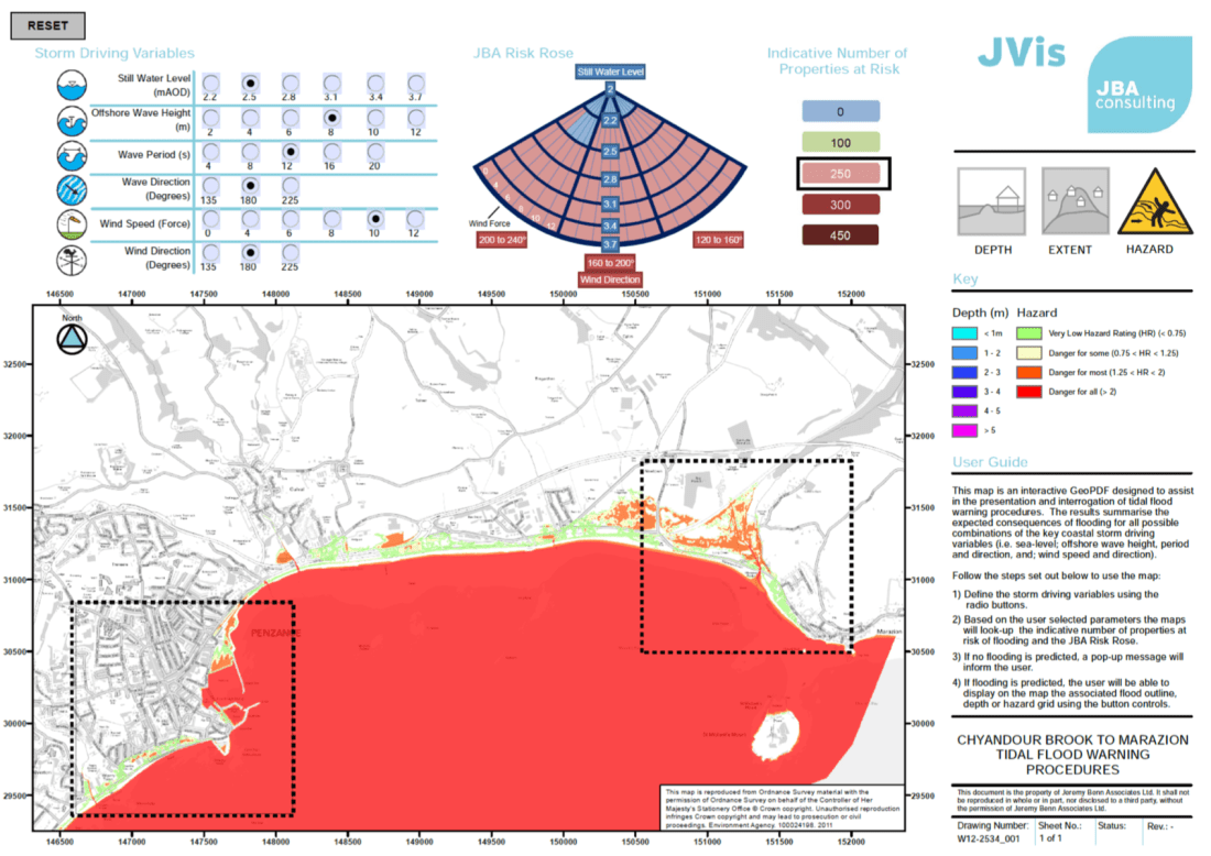
GeoPDF is Running Circles Around Flat PDFs

The new measurement tool implemented now allows for circular measurements.
TerraGo Chosen for Inclusion in Library of Congress Web Archives

The U.S. Library of Congress has selected TerraGo’s GeoPDF technology for inclusion in their Geospatial Software and File Formats Web Archive, as part of a collection of historically and culturally significant websites that have been designated for preservation.
Cooling Down the City

One of the most prevalent changes felt in cities around the world is that of summer heat becoming unbearable. GeoPDF® can help urban planners identify critical areas in their cities'
Lessons from the Geospatial World Forum
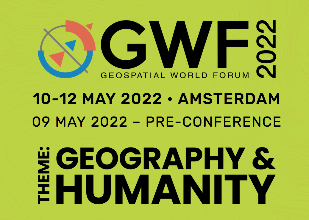
TerraGo intern Lucas shares what he learned at this year's Geospatial World Forum: Humanity & Geography
Crush Uncertainty with GeoPDF®
In every aspect of business, the importance of delineating risk and uncertainty is essential. This is where GeoPDF is able to transform uncertainty into data, resulting in informed decisions.
Unleash Your Geo With Lucas!

TerraGo's new environmental economics postgraduate intern talks about his favorite GeoPDF® tools and features.
TerraGo Joins the Esri ArcGIS® Marketplace with GeoPDF® Publisher for ArcGIS Pro
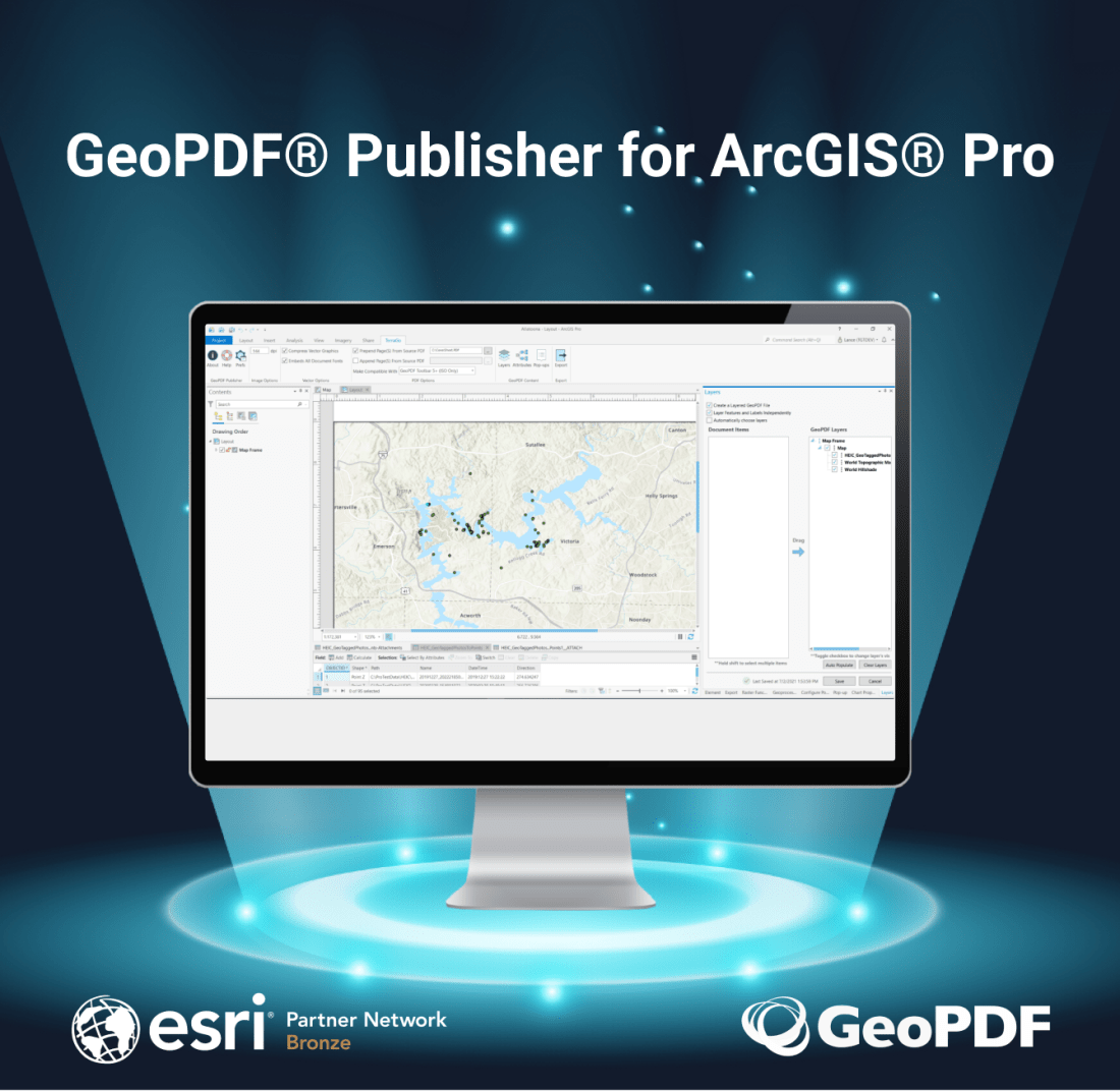
TerraGo Technologies, a leading provider of geospatial solutions to the US Department of Defense and other leading government and commercial organizations around the world, has added their flagship product GeoPDF Publisher for ArcGIS Pro to the Esri ArcGIS Marketplace.