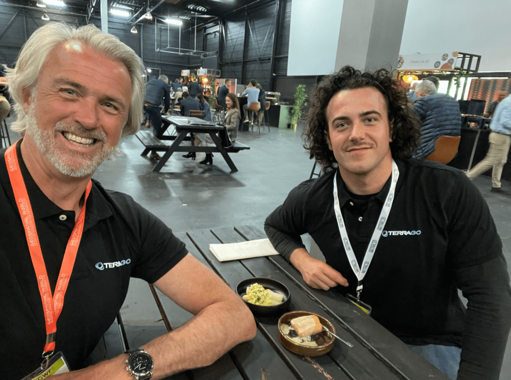


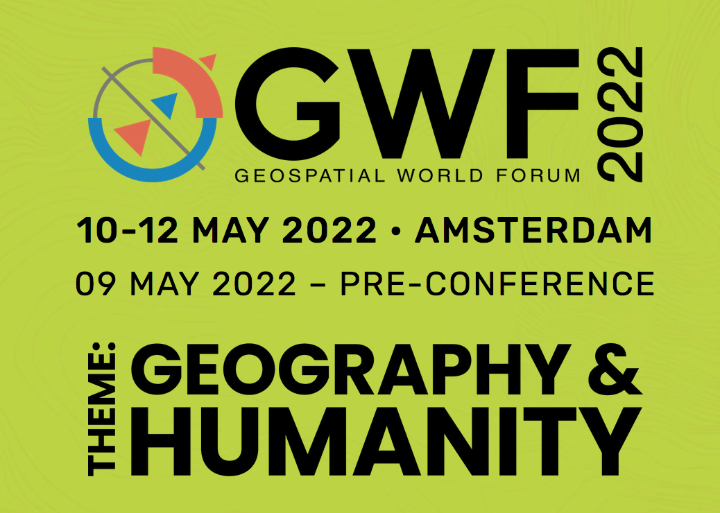
Yesterday and the day before, I attended the GeospatialWorldForum near my hometown of Amsterdam. The event being themed ‘Humanity & Geography’ this year, I was excited to learn about geospatial solutions increasing the livelihood of people around the world. More importantly, I was going to tell everyone about how GeoPDF does so!
The event was set up around multiple plenary sessions a day, covering topics ranging from land administration, to space exploration. Unfortunately, I could not split myself in parts to be everywhere. One of the discussions I went to was about advancing sustainability through collaboration. Mapping companies like Hexagon and Trimble talked about how geographical mapping can help us identify current bottlenecks and venture into new opportunities. ESRI showcased the geographic approach of looking at the world and how this connects us.
Apart from the topic of that specific session, there was an incredible focus on collaboration as a way to advance in our sustainability efforts. As an environmental student, this made me hopeful and eager to tell people how I think TerraGo and GeoPDF can contribute.
While meeting people on the exhibition area, people would ask me what TerraGo does. For GeoPDF, I would say it allows users to act on their strengths, while acknowledging their differences. Information that could lead to valuable insights often gets lost when trying to share a pretty picture. When collaborating, we sometimes forget that we, as professionals, speak different languages. GeoPDF allows a geospatial professional to collaborate with a non-geospatial professional. You talk, we translate.
Collaborate, with GeoPDF!