- Products
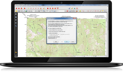
GeoPDF

Professional Suite
Create GeoPDF Maps for Anyone, Anywhere

Publisher for ArcGIS® Pro
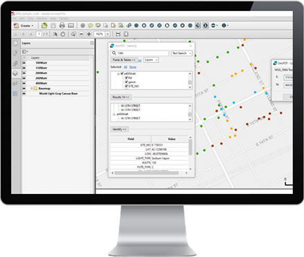
Publisher Pro GeoPDF Maps

Composer
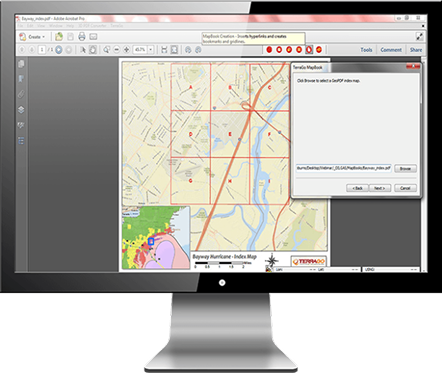
Create 2D & 3D GeoPDF Maps & Mapbooks
- Resources
Resources

Newsroom
Check Out the Latest News from TerraGo

Case Studies
Learn from Customer Success Stories

Videos
Watch Customer & Tutorial Videos

Webinars
Access On-Demand Sessions

Solution Overviews
Download Brochures & White Papers

GeoPDF Gallery
Explore GeoPDF Maps & Imagery
- Support
Support

Technical Support
Contact by Phone, Email or Online

Support Cases
Submit a Ticket Online

Knowledge Base
Access Customer Resources

Product Releases
View GeoPDF Release Notes

GeoPDF License
Activate Your GeoPDF Subscription


- Products
GeoPDF
Professional Suite
Create GeoPDF Maps for Anyone, Anywhere
Publisher for ArcGIS® Pro
Publisher Pro GeoPDF Maps
Composer
Create 2D & 3D GeoPDF Maps & Mapbooks
- Resources
Resources
Newsroom
Check Out the Latest News from TerraGo
Case Studies
Learn from Customer Success Stories
Videos
Watch Customer & Tutorial Videos
Webinars
Access On-Demand Sessions
Solution Overviews
Download Brochures & White Papers
GeoPDF Gallery
Explore GeoPDF Maps & Imagery
- Support
Support
Technical Support
Contact by Phone, Email or Online
Support Cases
Submit a Ticket Online
Knowledge Base
Access Customer Resources
Product Releases
View GeoPDF Release Notes
GeoPDF License
Activate Your GeoPDF Subscription